Mont Saint-Michel circuit

Saint-Jean-Saverne Easy
Easy Club Vosgien
Mont Saint-Michel circuit
2h30
8,6km
+179m
-172m
Loop
Embed this item to access it offline
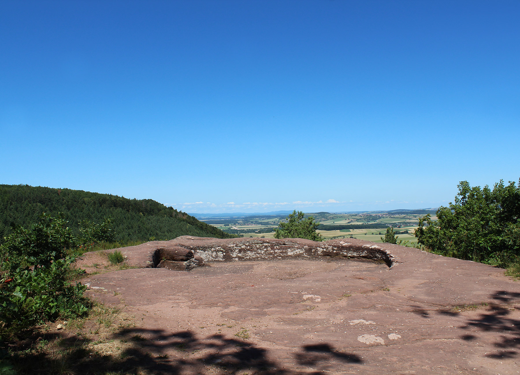
A journey through past eras thanks to many vestiges: oppidum celte, Roman road, 12th century castle and many other discoveries! Mont Saint-Michel also allows you to admire a beautiful view of the municipality of Saint-Jean Saverne that dominates.
Description
From the car park, go to Mont Saint-Michel.
Take the forest path to the Langenthal Cross. Throughout the course, follow the red disc.
Continue on the path of Heidenstadt to join the Celtic Oppidum. Then join the quarry of Frohnberg from which were extracted the stones used for the construction of the castle.
Continue towards Warthenberg Castle. Once there, go round the castle and look at the rock of the Daubenschlag.
Follow the path of the philosopher and go up the Roman road of Plattenweg then cross the forest road to reach Mont Saint-Michel.
- Departure : Mont Saint-Michel, Saint-Jean Saverne
- Arrival : Mont Saint-Michel, Saint-Jean Saverne
- Towns crossed : Saint-Jean-Saverne and Ernolsheim-lès-Saverne
2 points of interest

Mont Saint-Michel - Saint-Jean Saverne - Office de Tourisme & du Commerce du Pays de Saverne  Castle-church-abbey
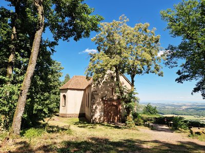
Saint-Michel Chapel
It would be an ancient pagan place of worship, consisting of a circular basin called the School of Witches or Circle of Druids and a cave below called Cave of the Fairies. According to some authors, it would correspond to a Roman era shrine dedicated to Mithra. The cave with benches was occupied from the late Middle Ages until the 18th century by hermits from where the presence of amenities. (Sources: Mérimée)
 Castle-church-abbey
Warthenberg Chateau
A Roman fortress built in the 12th century, also known as the Daubenschlag Castle, the name of the rock on which it was built. The castle was quickly abandoned, perhaps even before being completed. It was not lost for everyone, however, as the surrounding inhabitants used it as a stone quarry.
Forecast
Altimetric profile
Information desks
Tourist Office of the Pays de Saverne
37 Grand'rue, 67700 Saverne
Access and parking
From Saverne, take the D115 towards Saint-Jean Saverne. At Saint-Jean Saverne, follow the signs to Mont Saint-Michel.
Report a problem or an error
If you have found an error on this page or if you have noticed any problems during your hike, please report them to us here:
