Obersteinbach Hard
Hard
4h
27,4km
+363m
-363m
Embed this item to access it offline
This tour passes historical sites such as the "Schwarze Tafel" on the "green" border to Ludwigswinkel. Information panels tell the story of the two nations and also mention the "Area 1" site from the Cold War. The tour also passes the biosphere house in Fischbach and the castle ruins in Wasigenstein.
Description
From Obersteinbach, the tour passes the Lutzelhardt Forest House. On a paved cycle path, you continue on a flat path through a mixed pine forest to the "Blackboard" at the German-French border, with information boards on the history of the two nations. Another institution steeped in history is the "Château Moderne" -Zone I, the special weapons depot of the Cold War with its 12-station circular route on this subject. The Friendship Tour now passes through the Rösselsweiher and the Rösselsquelle until we reach the Ludwigswinkel climate station. Continue past the Mühlenweiher (Saarbacherhammer) to the village of Fischbach with its tree path and biosphere house. Now we ride on a water-related cycle path to Schönau and past the "Heilsbach" educational and leisure centre.
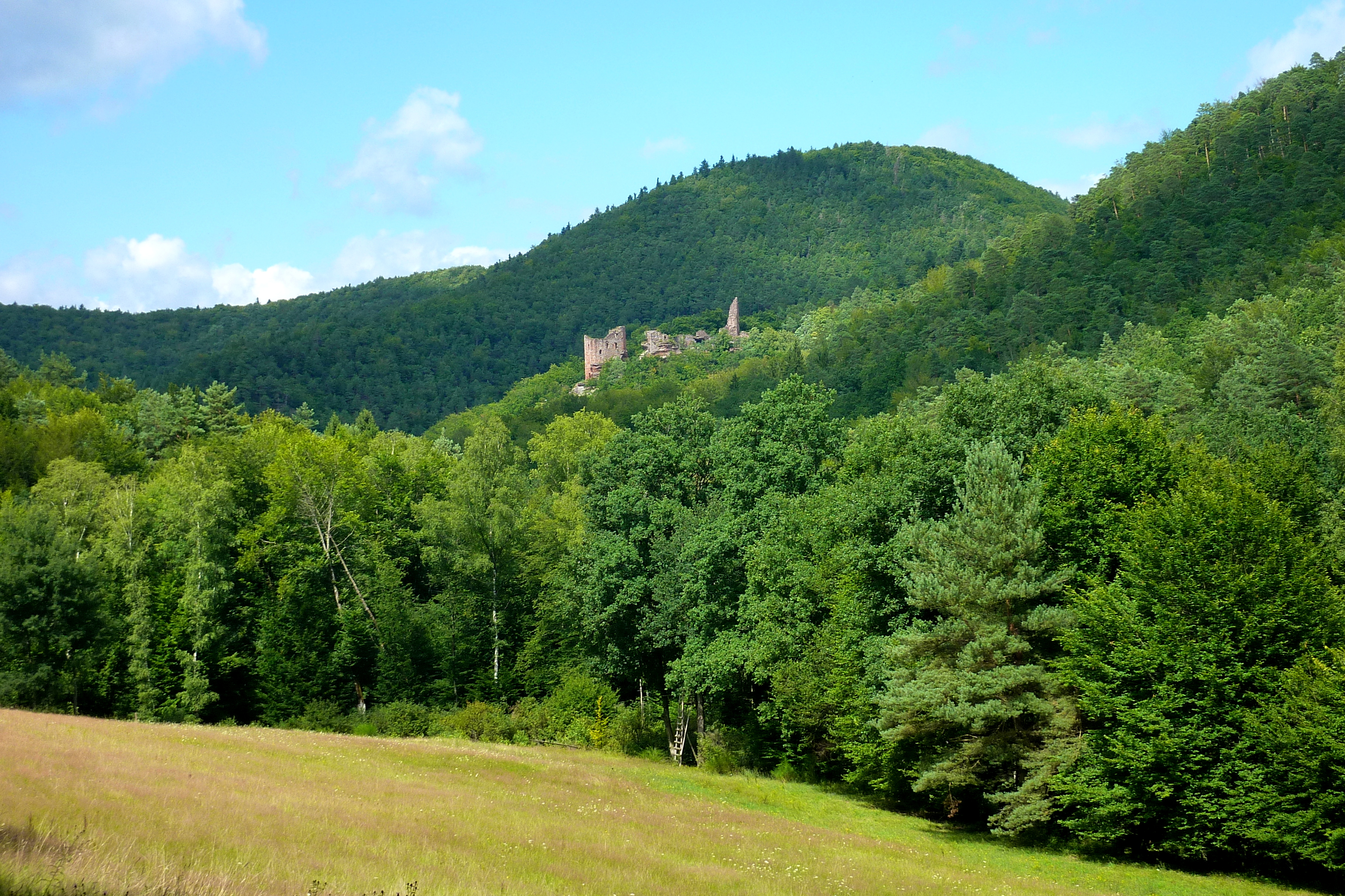
Continue through the village of Schönau and now climb slightly to the typical Alsatian village "Wengelsbach". From here, the tour now leads steeply uphill through the hairpin bends and turns in the direction of Klingelfels. Here you can make a diversion to the legendary castle ruin "Wasigenstein". When the Götzenberg Pass, the highest point of this tour, is reached, we descend to Obersteinbach and return to our starting point.
Translated with www.DeepL.com/Translator (free version)
- Towns crossed : Obersteinbach, Dambach, and Niedersteinbach
1 point of interest
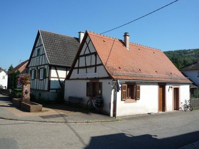
La Halte des Randonneurs - http://www.refuges.info  Refuge-shelters
La Halte des Randonneurs Guarded hiker's Refuge
Forecast
Altimetric profile
Sensitive areas
Along your trek, you will go through sensitive areas related to the presence of a specific species or environment. In these areas, an appropriate behaviour allows to contribute to their preservation. For detailed information, specific forms are accessible for each area.
- Impacted practices:
- Aerial, Aquatic, , Underground, Land, Vertical
- Sensitivity periods:
- JanFebMarAprMayJunJulAugSepOctNovDec
- Contact:
- Email : contact@parc-vosges-nord.fr Tél. : 03 88 01 49 59
Report a problem or an error
If you have found an error on this page or if you have noticed any problems during your hike, please report them to us here:
